
Scalable Cloud-Based Systems
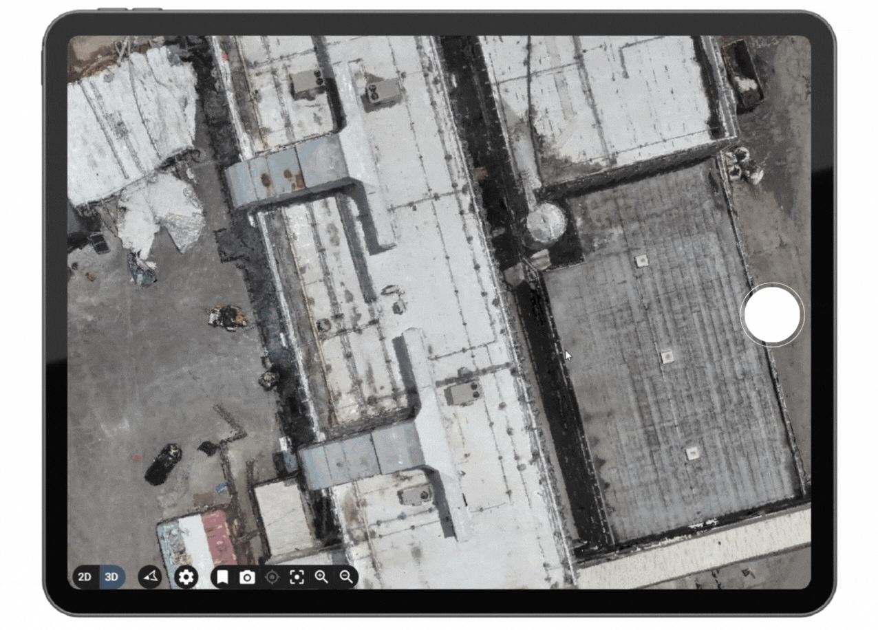
Effortlessly access detailed 3D maps and models. Take precise measurements and calculations—without the need for bulky software or specialized training.
One-click measurements and calculations.

4k or better quality image and video capabilities.
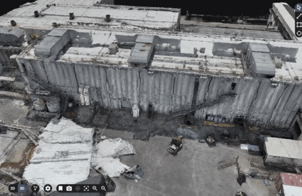
Break the chains of 2D imaging with 3D digital twins.

Real-time collaboration and project management tools.

Integrated Google maps.

Free cloud storage. No monthly fees or logins.
I had no idea how useful this service could be. Highly recommend!
Steve Kainz
Insurance Claims, Denver, July 2023
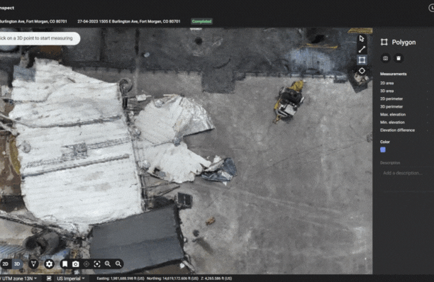
High Data Accuracy
Experience reality recreated through Jeeves Drones' best-in-class processing, delivering survey-grade models for unparalleled accuracy.
Photogrammetry Use Cases
Which industries utilize drone photogrammetry?
Insurance: Drone photogrammetry enables accurate and efficient assessment of property damages, leading to quicker claim processing and reduced operational costs for insurance companies.
Roofing: Roofing companies can utilize drone photogrammetry to conduct detailed roof inspections, identify issues promptly, and provide more accurate estimates for repairs or replacements.
Agriculture: Drones equipped with photogrammetry can survey crops, monitor plant health, and assess irrigation needs, enhancing precision agriculture practices and improving overall crop yield.
Construction: Construction firms can benefit from drone photogrammetry to monitor construction progress, perform site surveys, and generate 3D models for better project visualization and management.
Conservation and Environmental: Drone photogrammetry aids in wildlife monitoring, habitat mapping, and environmental research, supporting conservation efforts and promoting sustainable land use.
Mining: The mining industry can use drone photogrammetry to survey mining sites, calculate stockpile volumes, and monitor environmental impacts, enhancing safety and operational efficiency.
Forestry Management: Drones with photogrammetry capabilities assist in forest inventory, tree health assessment, and forest fire monitoring, aiding in sustainable forestry management practices.
Solar Farm Maintenance: Drone photogrammetry allows for quick and accurate inspection of solar panels, identifying maintenance needs and optimizing energy production in solar farms.
Government Agencies: Government agencies can leverage drone photogrammetry for infrastructure inspection, disaster response, land use planning, and environmental monitoring, improving public services.
Land Development: In land development projects, drone photogrammetry streamlines site surveys, aids in planning and design, and provides valuable data for decision-making throughout the development process.
Transmission and Distribution Inspection: Utility companies can use drone photogrammetry to inspect power lines, transmission towers, and distribution infrastructure, enhancing maintenance and reliability.